
The Windermere Way is a long-distance walking route that encircles Lake Windermere, the largest natural lake in England. The full circuit is approximately 45 miles (72 kilometres) in length and is typically divided into four main sections, making it suitable for completion over several days. The route is not officially waymarked, but it follows existing public rights of way, bridleways, and minor roads.

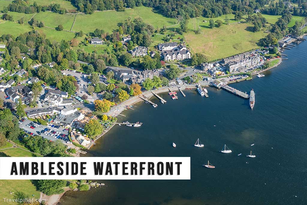
The trail offers a varied walking experience, combining lakeside paths, wooded areas, open fellside, and village centres. It passes through or near a number of settlements including Ambleside, Bowness-on-Windermere, Windermere town, and Lakeside. The route provides views of the lake from multiple elevations, particularly from Orrest Head, Loughrigg Fell, and Gummer’s How, each offering different perspectives of the surrounding fells and waters.
The Windermere Way is accessible to walkers of moderate fitness, though certain sections involve steep ascents and uneven terrain. The route can be walked in either direction and offers numerous points where public transport, including buses and ferries, allow for shortened or modified walks. This flexibility makes it a practical option for both day walks and longer hiking itineraries.

The path includes a mix of natural and cultural features. In addition to scenic views, walkers pass historical sites such as Wray Castle, Claife Viewing Station, and the Stott Park Bobbin Mill. These points of interest contribute to the route’s appeal for visitors seeking both outdoor activity and engagement with the region’s heritage.
Although the Windermere Way is not an official National Trail, it has become a recognised route among walking enthusiasts in the Lake District. It offers an opportunity to explore a wide range of landscapes and landmarks within a relatively compact geographical area. Maps and route guides are recommended due to the lack of dedicated signposting.