

Amsterdam’s canals form a key element of the city’s urban structure and heritage. Built primarily during the 17th century Dutch Golden Age, the canals were part of an extensive city expansion plan aimed at improving transportation, managing water, and supporting population growth. The central canal system, known as the Grachtengordel, consists of four main canals—Singel, Herengracht, Keizersgracht, and Prinsengracht—arranged in a semicircular pattern around the historic centre of Amsterdam.
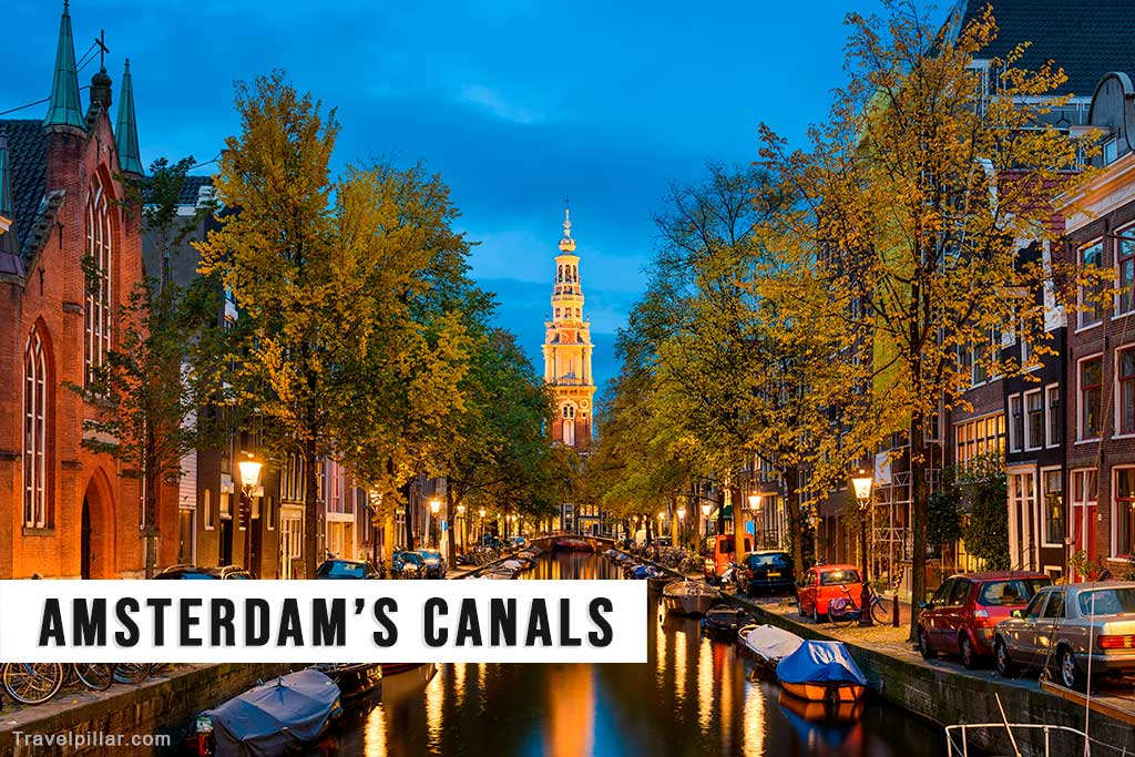
In total, the city contains over 100 kilometres of canals, crossed by more than 1,500 bridges and lined with around 90 islands. The canals originally served defensive and economic functions but have since become important for residential, recreational, and tourism purposes. Many canal-side buildings date from the 17th and 18th centuries and were constructed by merchants, bankers, and civic leaders. Houseboats are now a common feature on several canals, providing alternative housing.
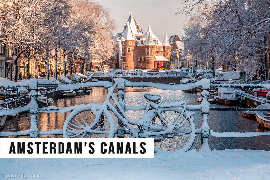
The canal ring was designated a UNESCO World Heritage Site in 2010, recognising its historical, architectural, and engineering significance. Key highlights include the Damrak canal, the Jordaan district, and the Magere Brug. Today, the canals remain central to the city’s identity, offering scenic routes for walking, cycling, and boat tours, while also supporting effective water management and conservation.
Top 10 Highlights of Amsterdam’s Canal Network
Herengracht (Gentlemen’s Canal)
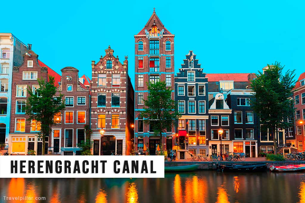
Herengracht, or the Gentlemen’s Canal, is the innermost of Amsterdam’s main canals and was historically the most prestigious. Developed during the early 17th-century expansion, it features grand canal houses built by wealthy merchants and city officials. Notable for its wide layout and elaborate façades, the canal reflects the city’s economic power during the Dutch Golden Age. Today, it remains a central and architecturally significant part of the historic canal network.
Google map 4.6/5
Prinsengracht
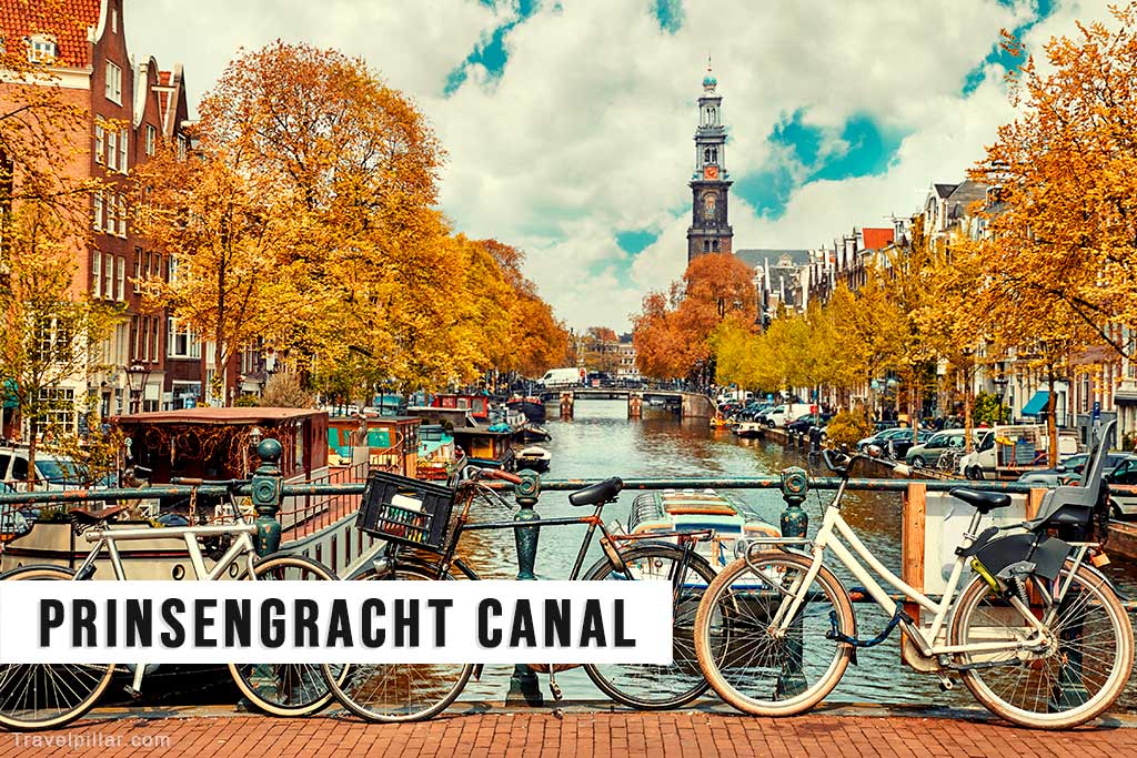
Prinsengracht is the outermost of the four main canals in Amsterdam’s Canal Belt and the longest among them. Constructed during the 17th-century city expansion, it runs parallel to the Keizersgracht and features a mix of residential buildings, houseboats, and landmarks. Notable sites along the canal include the Anne Frank House and Westerkerk. The canal is known for its varied architecture, tree-lined banks, and active role in city life and tourism.
Google map 4.7/5
Keizersgracht (Emperor’s Canal)
Keizersgracht, or Emperor’s Canal, is the second of the three main canals in Amsterdam’s historic Canal Belt. Named after Emperor Maximilian of Austria, it was constructed in the early 17th century as part of the city’s planned expansion. The canal is notable for its generous width and symmetrical layout. It features elegant canal houses, offices, and cultural institutions, reflecting both the city’s commercial history and its emphasis on urban planning and design.
Google map 4.6/5
Singel
Singel is the innermost canal in Amsterdam’s historic Canal Belt and originally served as a moat encircling the medieval city. It was later integrated into the 17th-century urban expansion. The canal runs from the IJ Bay to the Muntplein and features a mix of historic buildings, including the Bloemenmarkt, the world’s only floating flower market. Singel illustrates the transition from defensive waterway to integral part of the city’s transport and commercial network.
Google map 4.6/5
Damrak Canal
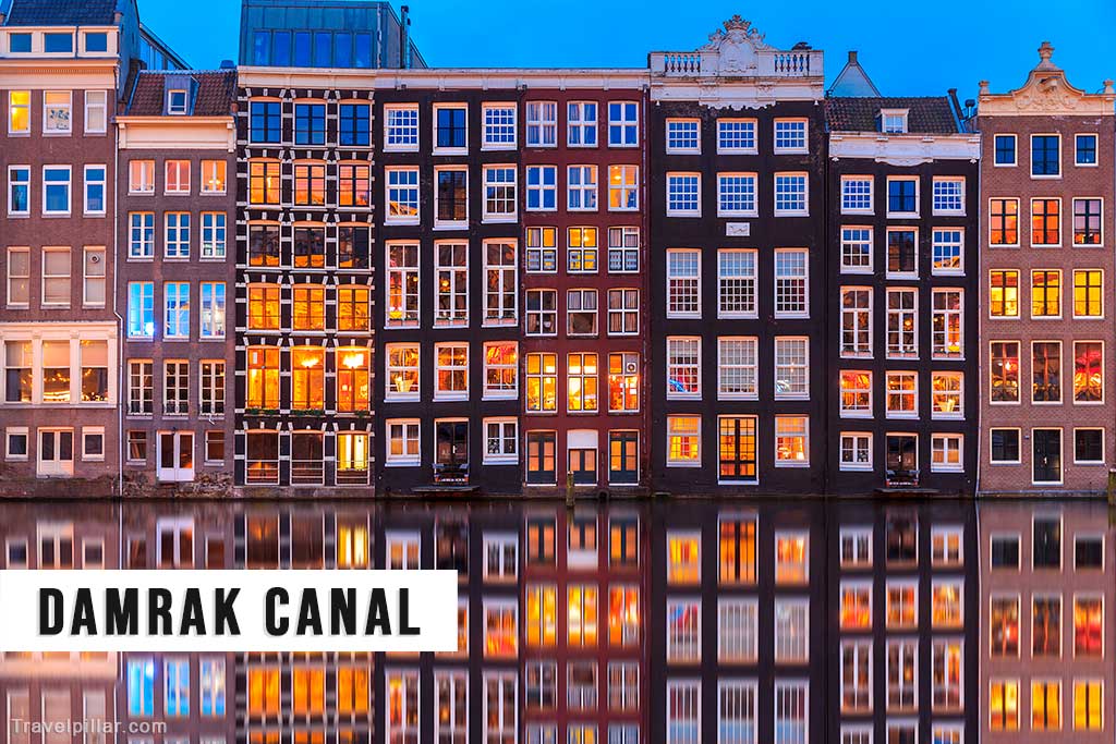
The Damrak Canal connects Amsterdam Centraal Station to Dam Square and forms part of the city’s historic central axis. Once a busy harbour inlet, it has since been partially filled and developed. The remaining section features a distinctive row of narrow, leaning canal houses, often referred to as the “dancing houses.” Today, the canal is a key departure point for boat tours and a prominent visual introduction to the city’s waterfront architecture.
The Nine Streets (De Negen Straatjes)

The Nine Streets (De Negen Straatjes) is a compact district within the historic Canal Belt, connecting the main canals between Raadhuisstraat and Leidsegracht. The area consists of nine narrow streets lined with independent shops, cafés, and galleries. Developed during the 17th century, it retains much of its original architecture. The district is known for its walkability, varied retail offerings, and integration into the broader urban fabric of the canal network.
Google map 4.5/5
Jordaan District

Brouwersgracht is a canal located at the northern edge of Amsterdam’s Canal Belt, where it intersects with the three main canals. Originally used by brewers and traders, it features historic warehouses and gabled canal houses. The canal is known for its arched bridges, tree-lined banks, and residential atmosphere. Frequently cited as one of the most picturesque canals in the city, it marks the transition between the Jordaan district and the central canal ring.
Brouwersgracht
Brouwersgracht is a canal located at the northern edge of Amsterdam’s Canal Belt, where it intersects with the three main canals. Originally used by brewers and traders, it features historic warehouses and gabled canal houses. The canal is known for its arched bridges, tree-lined banks, and residential atmosphere. Frequently cited as one of the most picturesque canals in the city, it marks the transition between the Jordaan district and the central canal ring.
Google map 4.8/5
Magere Brug (Skinny Bridge)
Magere Brug, or Skinny Bridge, is a traditional double-leaf Dutch drawbridge spanning the Amstel River. Originally built in 1691 and reconstructed several times, the current version dates from 1934. It connects the banks between Kerkstraat and the river’s eastern side. Known for its white wooden structure and narrow profile, the bridge is operated electrically but retains its historical form. It is illuminated at night and remains a prominent crossing point and visual landmark.
Google map 4.5/5
Houseboats
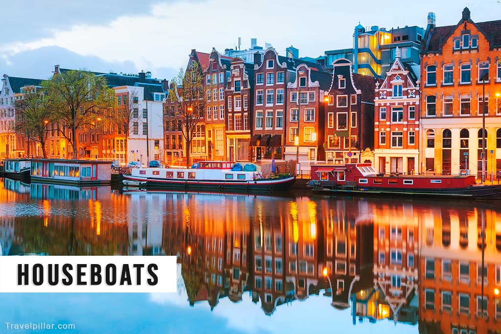
Houseboats are a distinctive feature of Amsterdam’s canals, with approximately 2,500 moored throughout the city. Originally converted from working barges, many are now purpose-built floating homes. They provide residential accommodation with full utilities and are subject to municipal regulations. Houseboats are found along major canals such as Prinsengracht and Brouwersgracht. They contribute to the city’s unique streetscape and offer insight into alternative urban living within a historic and densely populated environment.