
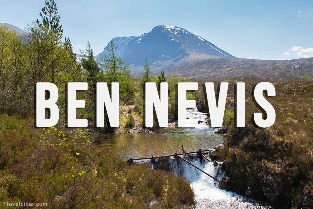
Ben Nevis is the highest peak in the British Isles, standing at 1,345 meters (4,413 feet) above sea level. Located near Fort William in the Scottish Highlands, the mountain is part of the Grampian Mountain Range and is a popular destination for climbers and hillwalkers. The name “Ben Nevis” is derived from the Scottish Gaelic “Beinn Nibheis,” which translates to “mountain with its head in the clouds,” a fitting description considering the mountain’s frequent cloud cover.
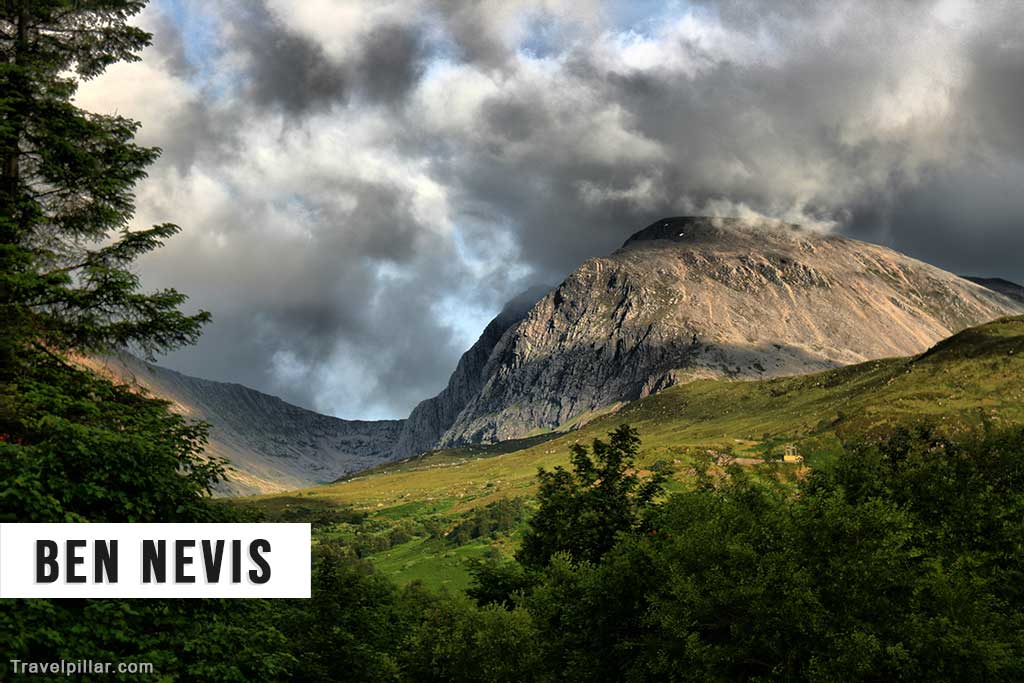
The summit of Ben Nevis features the ruins of an observatory that was in operation from 1883 to 1904. Today, the mountain attracts thousands of visitors each year, who ascend its slopes via the well-trodden “Mountain Track” or the more challenging “Carn Mor Dearg Arete” route.

The area surrounding Ben Nevis is rich in biodiversity, with a variety of plant and animal species thriving in its diverse habitats. The lower slopes are home to woodland areas, while the higher elevations feature alpine vegetation, such as mosses and lichens.
For those not inclined to climb the mountain, the Nevis Range Mountain Experience offers a gondola ride to the nearby Aonach Mor peak, providing stunning views of the surrounding landscapes. Whether attempting a challenging climb or enjoying the views from afar, Ben Nevis remains a must-visit destination in the Scottish Highlands.
Recommended website for detailed route description and map see:
https://www.walkhighlands.co.uk/munros/ben-nevis
Google map (4.8/5)
Google map Ben Nevis Visitors Centre
The “Mountain Track” to Ben Nevis
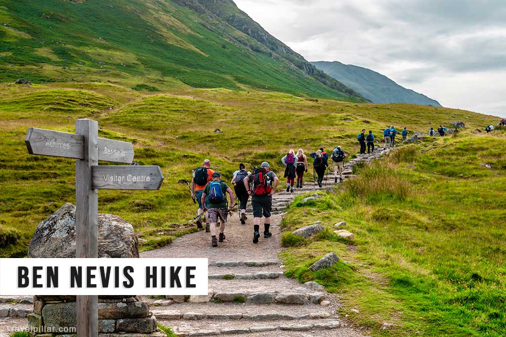
The Mountain Track, also known as the Mountain path, Tourist Path or Pony Track, is the most popular and accessible route for hiking up Ben Nevis, the highest mountain in the British Isles. Starting at the Glen Nevis Visitor Centre near Fort William, the well-trodden path is approximately 10.5 miles (17 km) long round trip, with a total ascent of 4,413 feet (1,345 meters).
The Mountain Track is suitable for reasonably fit hikers and does not require technical climbing skills. The route can be completed in approximately 7-9 hours, depending on individual fitness levels and weather conditions. The path is well-defined and consists of a mix of rocky terrain, zigzagging paths, and some steep sections. While it is considered non-technical, it still demands respect and proper preparation, as conditions can change rapidly on the mountain.
For detailed route and map of the Mountain Path to Ben Nevis see:
https://www.walkhighlands.co.uk/fortwilliam/bennevis.shtml
Key points along the Mountain Track include:
- The start at Glen Nevis Visitor Centre, where you can find parking, information, and restroom facilities.
- The initial ascent through grassy slopes and a few steep sections.
- A zigzagging path leading up to the halfway point at Lochan Meall an t-Suidhe, a small lochan nestled in the mountainside.
- The traverse along a broad ridge with some steeper sections and stone steps.
- The final push to the summit, with a large cairn marking the highest point in the UK.
When attempting the Mountain Track, it’s essential to be well-prepared with appropriate clothing, sturdy footwear, sufficient food and water, and navigational tools such as a map, compass, and GPS device. Always check the weather forecast before setting out, as conditions can change quickly, and poor visibility or adverse weather can make navigation challenging. Start early in the day to ensure ample daylight for the hike, and be prepared to turn back if conditions deteriorate.