
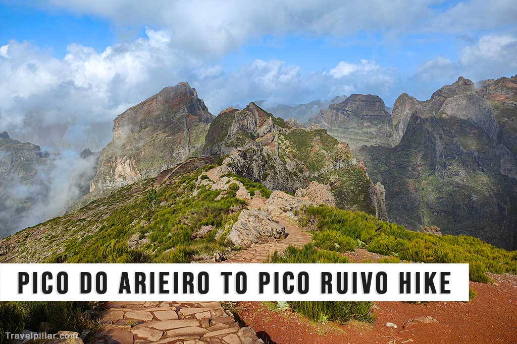
The Pico do Arieiro to Pico Ruivo hike is one of the most well-known mountain routes in Madeira, connecting the island’s third-highest peak, Pico do Arieiro (1,818 metres), to its highest, Pico Ruivo (1,862 metres). Officially known as PR1 Vereda do Arieiro, the trail spans approximately 7 kilometres one way and is considered moderately to highly difficult due to its steep inclines, narrow ridgelines, and frequent elevation changes. It requires good physical condition and appropriate hiking gear.
The path is largely carved into the volcanic rock, with sections including steep staircases, handrails, and several tunnels. While the trail is well-maintained, it can become slippery in wet conditions and is sometimes closed due to rockfalls or extreme weather. Cloud cover and fog are common at this altitude, but on clear days the route offers wide-ranging views over the central mountain massif, with deep valleys, jagged peaks, and glimpses of both the northern and southern coasts of Madeira.
The hike typically begins at Pico do Arieiro, accessible by road from Funchal, and ends at Pico Ruivo. From there, hikers must continue to the Achada do Teixeira car park, adding an extra 2.8 kilometres to reach road access. The full traverse is often done as a one-way hike with arranged transport or as an out-and-back route for those seeking a more demanding excursion.
Due to the mountainous environment, weather conditions can change rapidly, with strong winds, cold temperatures, and sudden fog. Hikers should carry adequate water, food, and clothing layers, and begin early in the day to allow sufficient time for completion. This hike is not recommended for those with vertigo or limited mobility, but for well-prepared walkers, it provides one of Madeira’s most dramatic and rewarding experiences in terms of natural scenery and geological features.
Official information: https://visitmadeira.com/en/
Google map Pico do Arieiro 4.9/5
Google map Pico Ruivo 4.8/5