
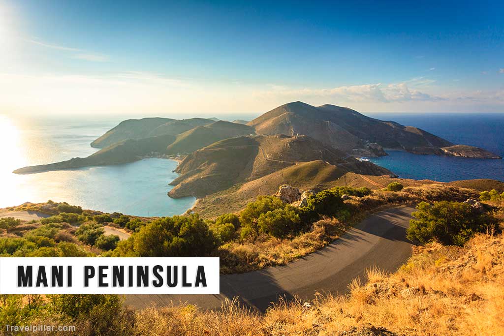
The Mani Peninsula is located in the southern Peloponnese and forms the central of the region’s three peninsulas, bordered by the Messenian Gulf to the west and the Laconian Gulf to the east. It is a rugged, mountainous area characterised by its isolated villages, stone towers, and arid landscape. The region is divided into two parts: Outer Mani, which is more accessible and developed, and Deep Mani, which remains remote and less populated.
Historically, Mani was known for its autonomy and resistance to outside rule. During the Ottoman period, the Maniots maintained a degree of independence due to the region’s difficult terrain. The distinctive tower houses, or pyrgospita, were built for both residential and defensive purposes, reflecting a history of clan rivalry and local conflict.
The main settlements include Areopoli, which serves as an unofficial capital of the region, and the coastal town of Gytheio, historically used as a port for Sparta. Vatheia, a hilltop village with preserved stone towers, is often cited as a typical example of Maniot architecture. The region also contains Byzantine churches with frescoes, such as those found in the villages of Kita and Lagia.
Cape Tenaro, located at the southern tip of the peninsula, was considered in antiquity to be the entrance to the underworld. Today, it is accessible via a walking path and marked by a lighthouse.
Tourism in the Mani Peninsula is primarily focused on cultural heritage, hiking, and coastal exploration. While some areas in Outer Mani have seen increased development, much of the region retains its traditional character. The coastline is lined with small coves and beaches, though infrastructure remains limited in the more remote parts. The Mani Peninsula is notable for its unique architecture, historical significance, and landscape shaped by centuries of geographic and cultural isolation.
Google map 4.8/5