
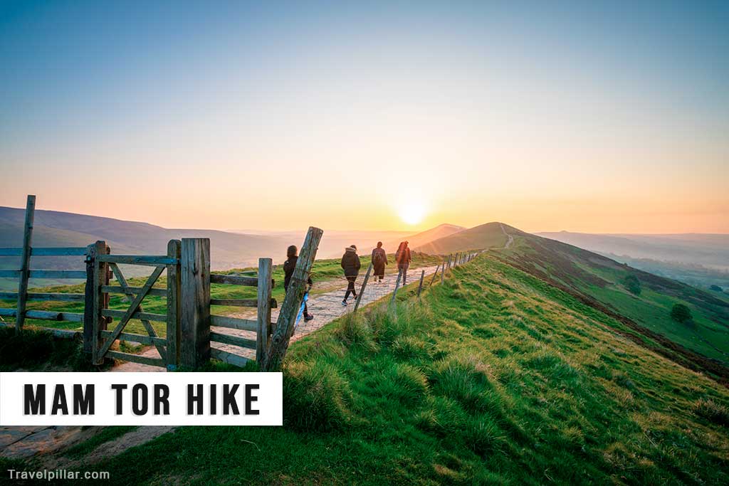
The classic Mam Tor Circular Walk (Castleton – Mam Tor – Great Ridge) circular walk is a well-regarded route in the Peak District, combining scenic valleys, ridge walking, and panoramic views. This 6.5-mile circular route begins in the historic village of Castleton, known for its charming streets, limestone caves, and proximity to the Great Ridge. The walk is suitable for walkers with moderate fitness, providing a varied landscape that showcases some of the best features of the Peak District.
Starting from Castleton, the route ascends towards Mam Tor, a prominent hill known as the “Shivering Mountain” due to its layered appearance from frequent landslides. Mam Tor stands at 517 meters, and the trail to its summit offers sweeping views over Castleton, the Hope Valley, and Edale. The summit viewpoint is particularly popular, providing a vantage point to take in the Peak District’s contrasting landscapes, from the rolling green fields of the White Peak to the rugged moorlands of the Dark Peak.
From Mam Tor, the walk follows The Great Ridge, a relatively flat and easy-to-navigate ridge path that stretches between Mam Tor and Lose Hill. This ridge walk is one of the highlights of the route, offering uninterrupted views on both sides. To the north lies Kinder Scout and the open moorlands of the Dark Peak, while the southern view encompasses the Hope Valley and its patchwork of fields, with limestone outcrops characteristic of the White Peak region. The path is well-defined, making it a popular route for walkers looking to experience the region’s famous landscapes.
Continuing along the ridge, the route passes Hollins Cross, a historic crossing point where travelers historically crossed between Edale and Castleton. Hollins Cross is an ideal place for a short break, with views over Edale and Castleton. From here, the trail gradually ascends to the summit of Lose Hill, standing at 476 meters. Lose Hill provides a stunning viewpoint looking back toward Mam Tor and offers views to the southeast, with glimpses of Win Hill and the Ladybower Reservoir.
The descent from Lose Hill leads walkers down into the Hope Valley and through scenic fields and farmland, returning to Castleton. The entire circular route takes approximately 4 to 5 hours, depending on pace, and provides an immersive experience of the Peak District’s varied topography. This walk is a comprehensive way to explore Castleton, Mam Tor, Lose Hill, and the scenic ridge that connects them, making it a favorite among Peak District visitors.
Useful website (with map): https://visitpeakdistrict.com/
Google map Castleton
Google map Mam Tor 4.8/5
Google map Mam Nick National Trust car park (alternative start point)
Google map Great Ridge 4.9/5
Google map Lose Hill 4.9/5