
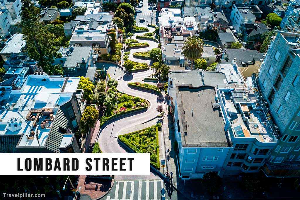
Lombard Street is one of the most recognisable streets in San Francisco, noted for a single block on Russian Hill where it descends in eight sharp switchbacks. This section, between Hyde and Leavenworth Streets, was constructed in 1922 to reduce the hill’s natural 27-percent grade, which was too steep for most vehicles of the time. The resulting zigzag design, paved with red bricks and landscaped with flowers, allows for safer navigation while creating a distinctive visual feature.
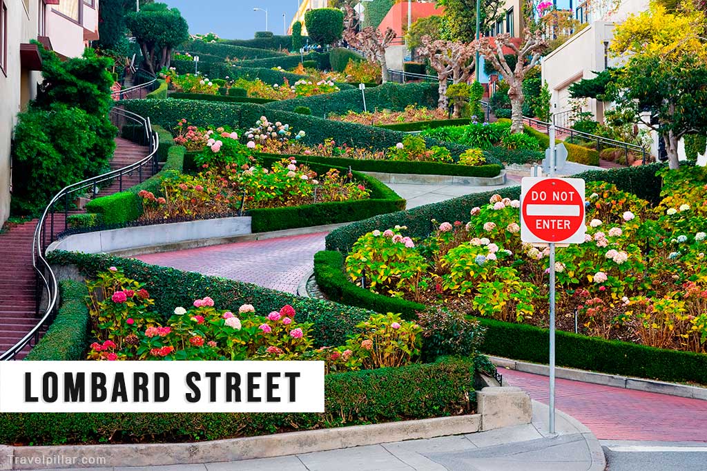
The street is one-way, with traffic flowing downhill from Hyde to Leavenworth. Speed is restricted to 5 miles per hour, and access can be congested during peak tourist seasons due to its popularity. Sidewalks with stairways run alongside the roadway, enabling pedestrians to view the curves and gardens from multiple angles. The street’s design has made it a frequent subject of photographs and media portrayals, contributing to its status as a city landmark.
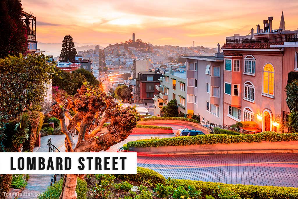
From the top of the block at Hyde Street, visitors can see views of Coit Tower, San Francisco Bay, and portions of the cityscape. Cable cars on the Powell–Hyde line stop nearby, providing convenient access. The surrounding neighbourhood contains historic houses, many built in early 20th-century styles, adding architectural interest to the setting.
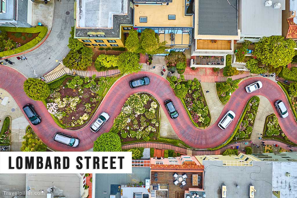
While Lombard Street is often referred to as “the crookedest street in the world,” this is a popular misconception, as other streets in San Francisco and elsewhere have more curves. Its appeal lies more in its combination of steep grade, sharp turns, and maintained landscaping. The gardens are maintained year-round, featuring seasonal flowers and shrubs, which contribute to its aesthetic appeal and attract a steady flow of visitors.
Efforts have been made to manage visitor numbers and vehicle access to minimise congestion and preserve the residential character of the area. Proposals have included timed entry or fees for vehicles during busy periods. Despite these measures, Lombard Street remains one of San Francisco’s most visited and photographed locations, offering a distinctive example of the city’s adaptation to its hilly terrain. It serves as both a functional roadway and a cultural attraction, linking urban design with the city’s topography.
Google map 4.6/5