
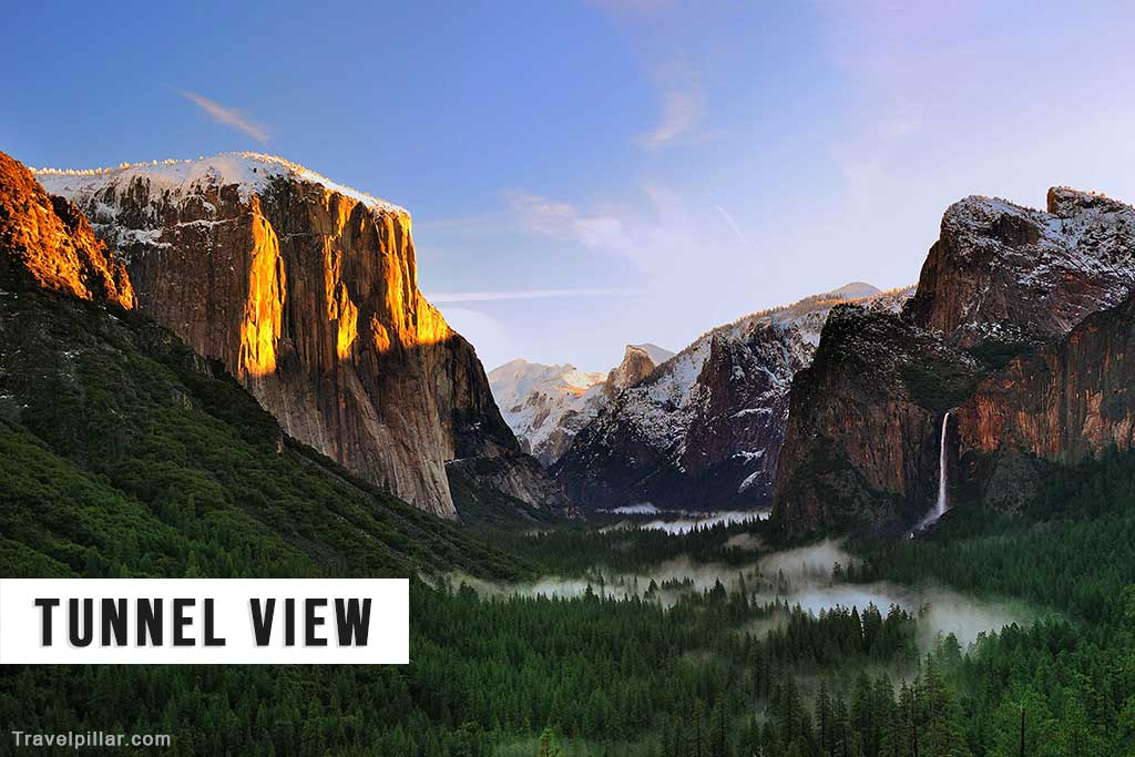
Tunnel View is one of the most recognised and photographed viewpoints in Yosemite National Park, offering a broad panoramic view of Yosemite Valley and several of its most notable landmarks. Located near the Wawona Tunnel on State Route 41, the overlook sits at an elevation of approximately 4,500 feet (1,372 metres). It provides a direct line of sight to El Capitan on the left, Bridalveil Fall on the right, and Half Dome in the distance, with the Merced River winding through the valley floor. The scene has remained largely unchanged since it was first made accessible in 1933 with the completion of the Wawona Tunnel.
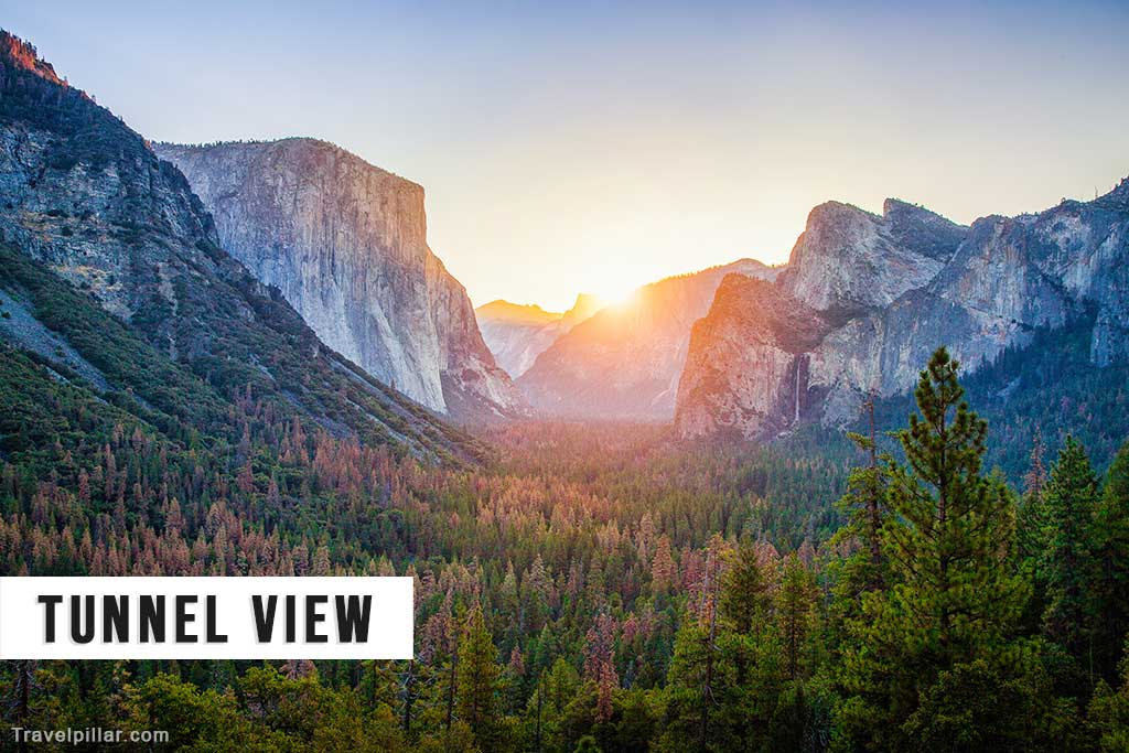
The viewpoint is accessible year-round by car, with a parking area accommodating both standard vehicles and tour buses. It is a paved, open space with interpretive signs describing the geological and cultural significance of the valley. No hiking is required to reach the overlook, making it accessible to visitors of all abilities. The site is particularly popular at sunrise and sunset, when light and shadow create pronounced contrasts across the granite cliffs.
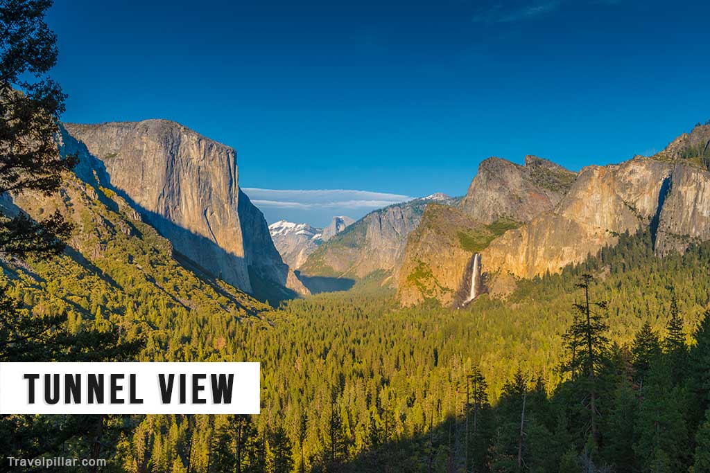
From a geological perspective, Tunnel View illustrates the classic U-shaped valley profile formed by glacial activity during the last Ice Age. El Capitan’s vertical granite face rises 3,000 feet (914 metres) from the valley floor, while Bridalveil Fall, with a height of 620 feet (189 metres), occupies a prominent position on the opposite side. In spring, snowmelt enhances the waterfall’s flow, while in late summer, it may be reduced to a light mist. Half Dome, visible in the background, represents a partially eroded granite dome shaped by both exfoliation and glacial carving.
The overlook has long been a subject for photographers and artists, including Ansel Adams, whose black-and-white images contributed to Yosemite’s international recognition. Despite its popularity, the site can become congested, especially during peak tourist months, and parking may be limited.
Tunnel View remains a key introductory location for visitors entering Yosemite Valley from the south, offering a comprehensive perspective of the park’s major geological features in a single frame. Its combination of accessibility, iconic scenery, and interpretive value makes it a central point of interest for both first-time visitors and repeat travellers.
Google map 4.9/5